INTERACTIVE FANTASY WEB MAPS

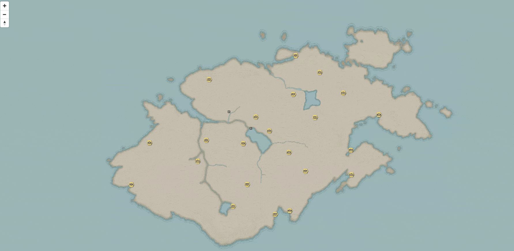
After creating a fantasy map for a D&D campaign I was playing in, I wanted to try to take our map experience to another level. We had a physical map that I had printed for our Dungeon Master, but I thought it would be cool to make an interactive version of it so my friends and I could pull it up on our phones or laptops to reference during a session.

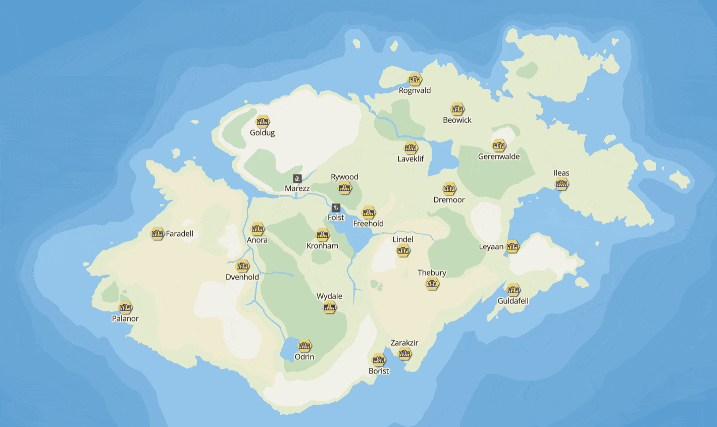
I decided to use Mapbox to accomplish my goal. I made a less stylized version of the map designed for print and brought it into QGIS (my mapping software) to apply some coordinates to the image so the web mapping software could recognize it and put it on earth. This allowed me to create a georeferenced raster, much like satellite imagery, which isn't much more than pictures with coordinates that allow you to place them in the correct location. I also created a geoJSON file for all the cities and points of interest to add those to the map and allow for popups with more information about the locations. I created a raster tileset from the georeferenced map and a style to reference in a web page. With a little web development, I created my first interactive fantasy map!

I was thrilled that I got it to work the way I wanted. However, I wasn't pleased with the overall map aesthetic and the lack of flexibility with the colors and other style choices. Luckily, vector tiles exist and allow for exactly what I was missing. I began the long process of digitizing the landmass in QGIS and created my first vector tileset and style with my new data! Along with the landmass, I digitized different landcover and bathymetry (water depth) that gave the map some good visual contrast. I also wanted a nicer popup instead of the default white background, so I created an image that looked similar to parchment paper and set that as the popup background. And with those changes, my interactive map for my D&D group was complete.

I continued to play around with settings and styles in this map. I added more data like roads and more functionality like a measure tool (at the request of my Dungeon Master). As I worked, I began to believe that other people could find these maps useful too. When I was writing this, I originally went into a lengthy explanation on the research behind why interactive maps are great for roleplaying games. However, I think these concepts are better explained in my thesis and a great book by video game researcher James Paul Gee entitled What Video Games Have to Teach us About Learning and Literacy. If you're interested in that sort of stuff, I highly recommend both of those (and other video game literature listed in the bibliography of my thesis).

In short, an interactive map of a fantasy world helps to bridge the gap between our real-world identity and the identity we assume of a character in a role-playing game. It allows us to immerse ourselves in the game because it's a mapping modern mapping interface familiar to us as the player, but depicting a completely new world that is, however, familiar to our character.

So with the intent to help Dungeon Masters better immerse their players, I wanted to get my maps in front of as many eyes as possible. Under the name Red Giant Maps (a name I came up with after first creating a logo for it), I began my fantasy mapmaking career by creating an interactive map for the setting of the largest D&D livesreamed game in the world, Critical Role. The folks at Critical Role have garnered a massive following and collaboratively created an in-depth world under Dungeon Master, Matthew Mercer. They independently released a book with tons of details and maps of the first continent the campaign took place in called Tal'Dorei. The second campaign explored an entirely new continent called Wildemount and actually was adopted into official D&D lore with another book of details and maps.

I created the interactive map of Tal'Dorei in March of 2020, adopting a similar style to the official map released in the initial book. I was extremely happy with how it turned out and the map was received with great praise by the Critical Role community. I wanted this map to be both a tool for groups that are participating in their own campaign of that world and for folks listening along to the show that want some spatial context when the players' characters are traveling across the continent. The map took me about 13 hours to complete which involved georeferencing the official map in QGIS, tracing the landmass and delineating landcover boundaries, creating the cities and POIs, and writing up popup information adapted from descriptions in the book.

Shortly after I completed this map, the official book for Wildemount was released and I got to work and created the interactive map of Wildemount! I brought the official map of Wildemount into the same QGIS project as the Tal'Dorei map and ensured they were created to the same scale (thank goodness for the inclusion of scale bars). Wildemount is considerably larger than Tal'Dorei and the map seemingly had a lot more detail than the first. From start to finish, this map took me about 20 hours, following the identical workflow from the Tal'Dorei map. And just like that, the Wildemount map was completed! Shortly after, I combined the two into the map of the entire world called Exandria, only having to alter some of the arbitrary bathymetry I created and label placements for overlapping areas.

If you're interested in creating your own interactive map, I did a couple tutorial streams on my Twitch channel. Or if you don't have the time and want to commission me, feel free to drop me a line on Instagram, Reddit, or any of the sites listed on my about page!

Copyright © Ross Thorn 2016-2022

HOME // TOP